Latest Products
Our services
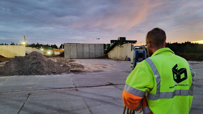
Heavy construction
For heavy construction projects,
A-GEO provides rugged and high-precision surveying equipment designed to withstand challenging environments.
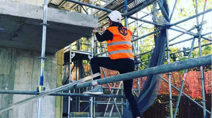
Building construction
A-GEO offers a range of surveying equipment and solutions tailored to the unique needs of building construction projects.
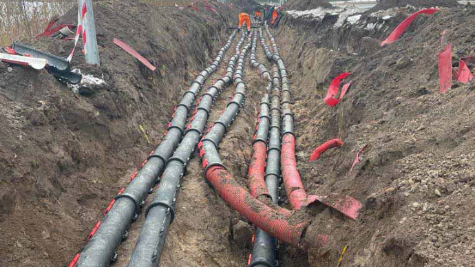
Utilities
A-GEO understands the critical role of surveying in utility projects. We offer utility-specific surveying equipment such as underground locators, pipe and cable locators, and GIS mapping tools.
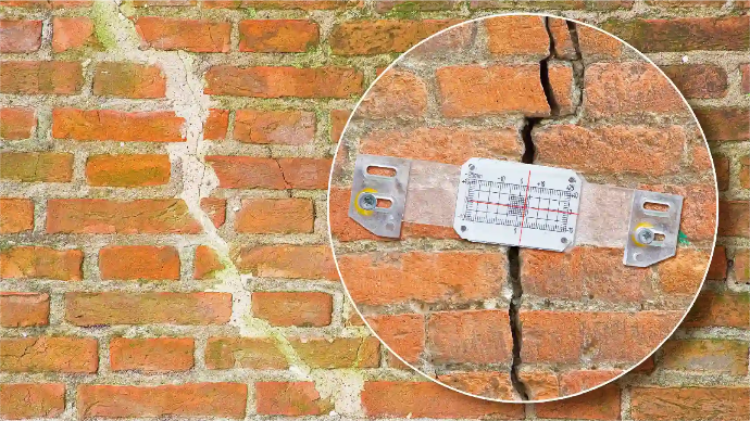
Monitoring
Monitoring projects require continuous data collection and analysis. A-GEO provides cutting-edge monitoring equipment like inclinometers, total stations, and remote sensing technology.
All product categories
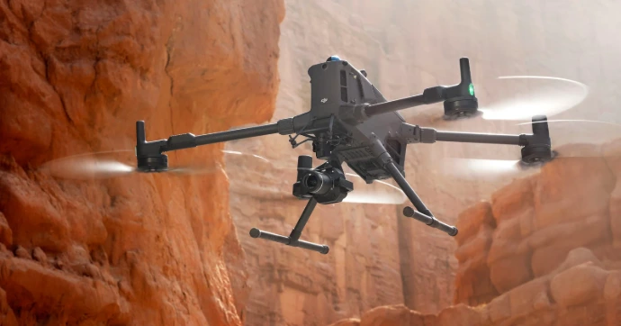
Matrice 400
Enterprise flagship drone platform, boasts an impressive 59-minute flight time, a payload capacity of up to 6 kg

Lixel K1
Compact handheld scanning and modeling device newlyannounced. With a lightweight body, it integrates 56 million-pixel panoramic vision modules and a 360 ° LiDAR, capable of real-time generation of centimeter-level colored 3D models.

Falcon X
By integrating SLAM with high-accuracy RTK and a powerful processor, it provides real-time point cloud coordinates in a unified indoor–outdoor system, delivering ready-to-use data without post-processing for faster, more precise engineering design.

Info about A-GEO
Surveying equipment GNSS, 3D scanners
A-GEO is a leading provider of surveying equipment sales, training and consulting services. Founded in 2011, the company has developed its offerings to specifically adapt to the needs of individuals and organizations involved in surveying.
Our latest content
Check out what's new in our company !
Our Partners