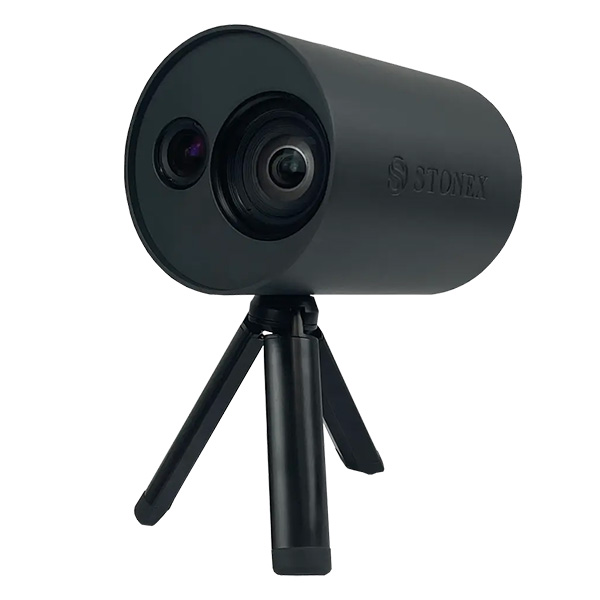
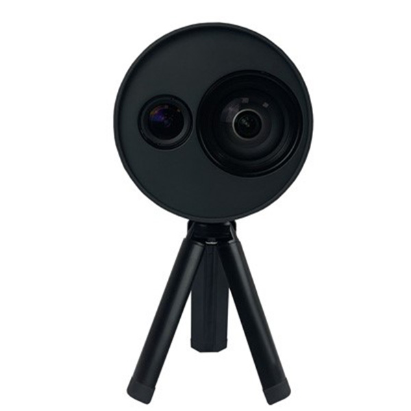
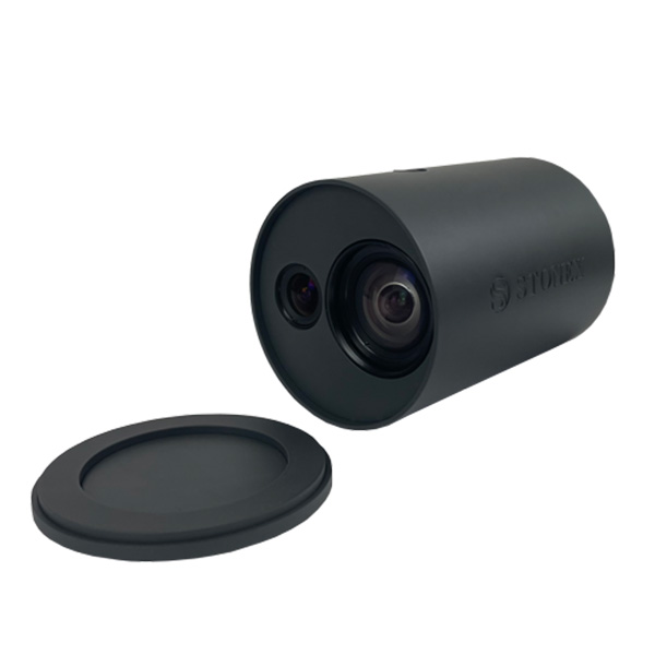
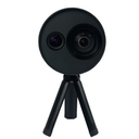
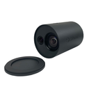
The system uses a technology based on the integration of high-resolution images, inertial systems and a complex algorithm: capturing a scenario with XVS, 3D model will be generated through photogrammetric techniques. Walking and capturing the scene in motion, a real-time interface will guide you in the data collection, suggesting the speed of your movement and if necessary returning to an area to have enough image overlapping. Thanks to Visual SLAM system (Simultaneous localization and mapping), your trajectory is displayed in real-time on a tablet. The Inertial Measurement Unit (IMU) sensor helps the algorithm to generate a continuous image block. The best result will be obtained automatically. Back in the office, the procedure to generate the 3D model is fully automatic, through a desktop PC. Data coming from XVS can be integrated with video from UAV drone or any kaamera for a complete reconstruction of the area.
XVS |
SPETSIFIKATSIOON
Min ulatus | 0,4 m |
Max ulatus | 40 m |
Trajectory täpsus (sisse postprocessing) | 4 mm |
Relative täpsus @1m | 3 mm |
Relative täpsus @20m | 2 cm |
IMAGING
vSLAM camera - Resolution | 640 x 480 px |
vSLAM kaamera - FOV | 65° |
vSLAM kaamera - Frame rate | 25 fps |
RGB camera - Resolution | 2448 x 2048 px |
RGB kaamera FOV | 89° |
RGB kaamera - Frame rate | 10 fps |
RGB kaamera - katik andur | Global |
ELECTRICAL SPETSIFIKATSIOON
Supply pinge | 5V (through USB) |
toide consumption | max 4W |
PHYSICAL SPETSIFIKATSIOON
Kaal | 740g |
kokku kohver kaal | 5 kg |
suurus (pikkus x Diameter) | 151 mm x 120 mm |
töötemperatuur | 0°C kuni +40°C (32°F kuni 104°F) |