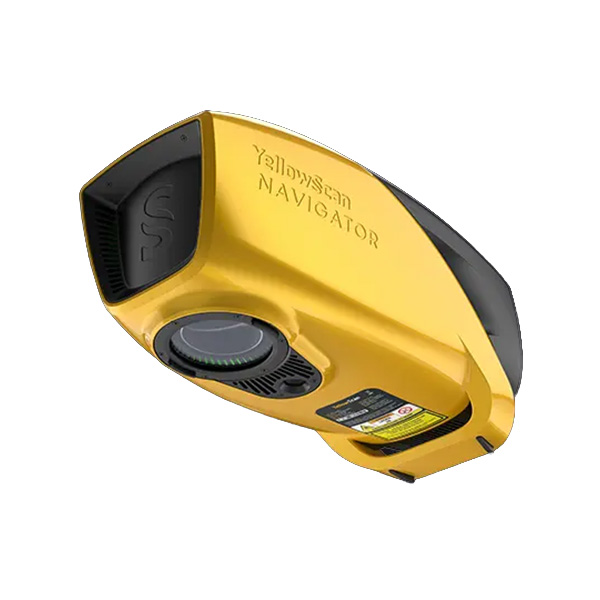
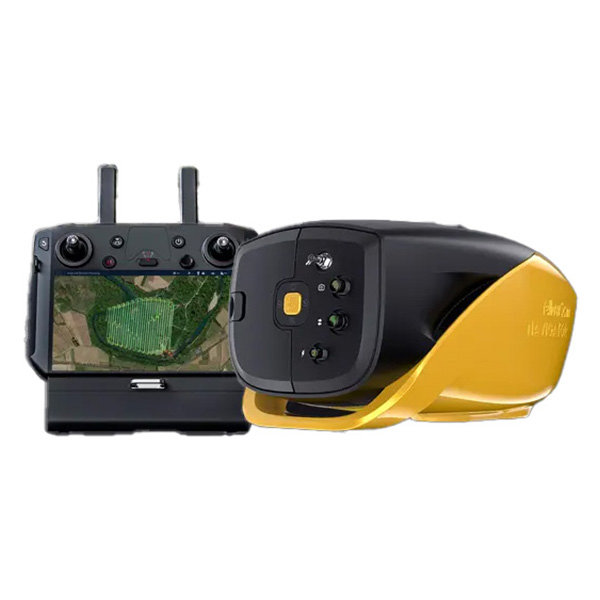
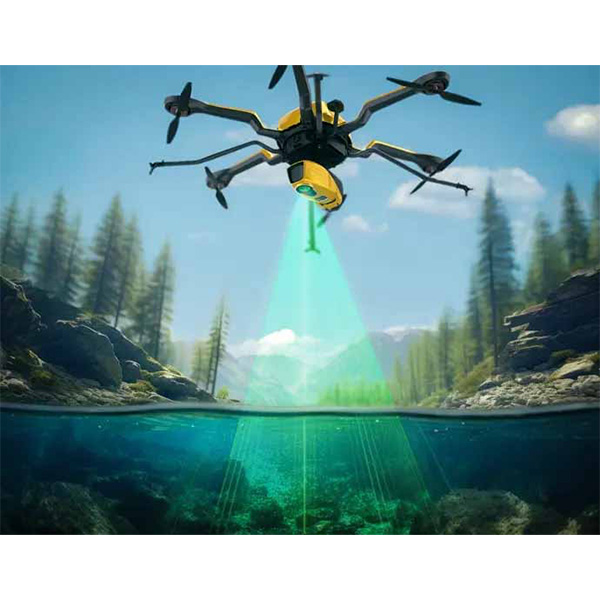
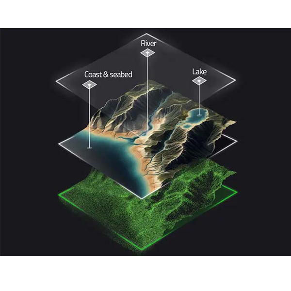
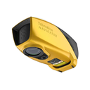
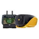
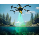
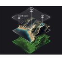
The YellowScan Bathymetric system is designed for conducting bathymetric measurements in shallow waters and is rapidly deployable on a UAV. This full waveform LiDAR system ensures continuity between underwater points and the surrounding terrain. Intended for aerial use on drones, the system covers various water areas such as shorelines, rivers, lakes, estuaries, ponds and gravel pits. Navigator is user-friendly and adaptable for a wide range of applications, from hydrographic surveys to underwater resource management.
NAVIGATOR |
SPETSIFIKATSIOON
laser scanner | YellowScan development |
GNSS intertial solution | SBG Quanta micro |
Precision | 3 cm |
täpsus | 3 cm |
Typ. lend kiirus | 5 m/s |
Typ. lennates kõrgus | 80 m |
max rec. lennates kõrgus | 100 m |
Point density | 20 pts/sqm @ 80 m AGL 5 m/s |
Laser ulatus | kuni 120 m |
laser wavelength | 532 nm |
Scanner field--vaade | 44° |
min. sügavus | 0.30 m |
max. sügavus | 2 Secchi |
max. andmed generated | kuni 200 000 punkti / s |
Echoes per shot | kuni 10 / Fullwaveform |
Shots per sekund | kuni 20 000 |
Scanning sagedus | kuni 50 Hz (selectable) |
RGB kaamera | Built-sisse 2MP global katik |
Kaal | 3.7 kg (8.15 lbs) batt. excl. |
suurus | L 350 x W 160 x H 190 mm |
autonoomia | 40 min. typ. |
toide consumption | 120 W |
töötemperatuur | 0° kuni +40 °C |
laser class | Class 3B - Avoid direct exposure kuni beam |