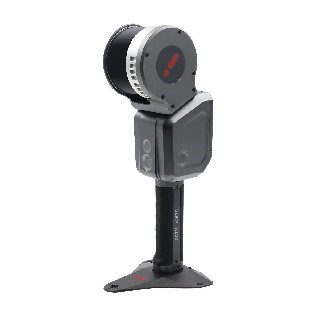
LIXEL L2 PRO |
SPECIFICATION
Working range | 0.5m ~ 120m |
Laser class | Class 1/905nm |
Laser FOV | 360°×270° |
Processing mode | Real time/Post-processing |
Scanning speed | 320,000 points/second |
Operating temperature | -20℃ ~ +50℃ |
Power consumption | <30W |
Storage capacity | 1TB |
Operating time | 1.5 hrs |
Protection level | IP54 |
Horizontal accuracy | ≤0.015° |
Number of camera | 3 |
Power supply | Fast-lock battery/external power |
Dimensions (main body) | 138.45mm(L)×90mm(W)×227.32mm(H) |
Weight | <1.6kg |
Visual-aided positioning | Supports |
Real-time color point cloud | Supports |
5G real-time transmission | Supports |
RTK fusion | Supports |
Resume scanning from break point | Supports |
Point cloud format | * .las |
Relative accuracy | ±1.2cm |
Absolute accuracy | ≤3cm |
Repeat accuracy | ≤2cm |
Battery capacity | 46.8wh |
RTK frequency | BDS: B1I, B2I, B3I GPS: L1C/A, L2P(Y), L2C, L5 GLONASS: L1, L2 GALILEO: E1, E5a, E5b |