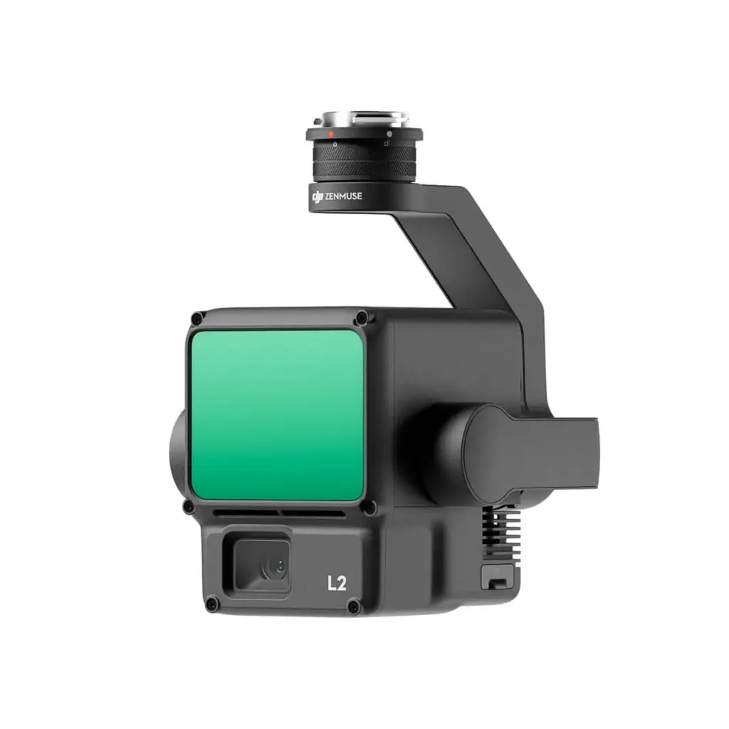
Supported by its powerful hardware, L2 can allow for a precise scan of complex subjects within an extended range and faster point cloud acquisition. During operations, users can preview, playback, and process point cloud models on-site, with Task Quality Reports generated by DJI Terra, offering a simple, one-stop solution to improve overall efficiency. This enables users to achieve high-precision point cloud results with one-stop post-processing.
ZENMUSE L2 |
SPECIFICATION
Dimensions | 155×128×176 mm (L×W×H) |
Weight | 905±5 g |
Power | 28 W (typical) 58 W (max.) |
IP Rating | IP54 |
Supported aircraft | Matrice 300 RTK (requires DJI RC Plus) |
General operating temperature | -20° to 50° C (-4° to 122° F) |
Storage temperature range | -20° to 60° C (-4° to 140° F) |
SYSTEM PERFORMANCE
Detection range | 450m @50% reflectivity, 0 klx |
Point rate | Single return: max. 240,000 pts/s |
System accuracy (RMS 1σ) | Horizontal: 5 cm @ 150 m |
Real-time point cloud coloring modes | Reflectivity, Height, Distance, RGB |
LiDAR
Ranging accuracy (RMS 1σ) | 2 cm @ 150 m |
Maximum returns supported | 5 |
Scan modes | Non-repetitive scanning pattern, Repetitive scanning pattern |
FOV | Repetitive scanning pattern: Horizontal 70°, Vertical 3° |
Laser safety | Class 1 (IEC 60825-1:2014) |
Minimum detection range | 3 m |
Laser wavelength | 905 nm |
Laser spot size | Horizontal 4 cm, vertical 12 cm @ 100 m (FWHM) |
Accessible Emission Limit (AEL) | 233.59 nJ |
Max Laser Pulse Emission Power Within 5 Nanoseconds | 46.718 W |
Reference Aperture | Effective Aperture: 23.85 mm (equivalent to circular) |
Laser Pulse Emission Frequency | 240 kHz |
INTERIAL NAVIGATION SYSTEM
IMU Update frequency | 200 Hz |
Accelerometer range | ±6 g |
Angular velocity meter range | ±300 dps |
Yaw Accuracy(RMS 1σ) | Real-time: 0.2°, Post-processing: 0.05° |
Pitch / Roll Accuracy(RMS 1σ) | Real-time: 0.05°, Post-processing: 0.025° |
GIMBAL
Stabilized system | 3-axis (tilt, roll, pan) |
Angular vibration range | 0.01° |
Mount | Detachable DJI SKYPORT |
Mechanical tange | Tilt: -143° to +43° |
Operation modes | Follow/Free/Re-center |