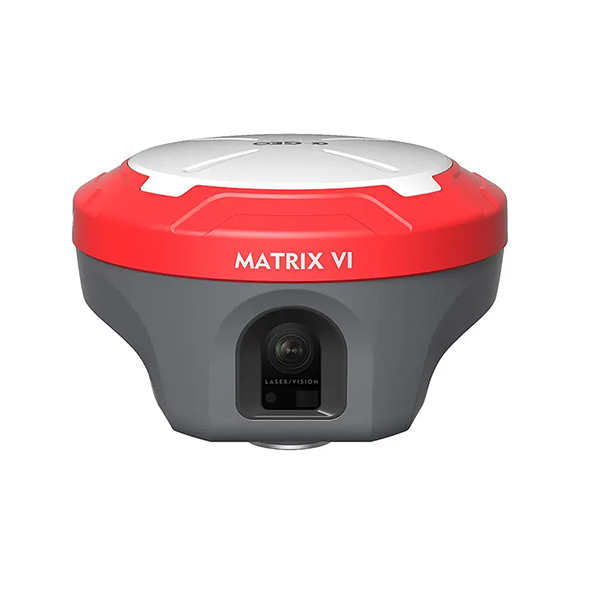
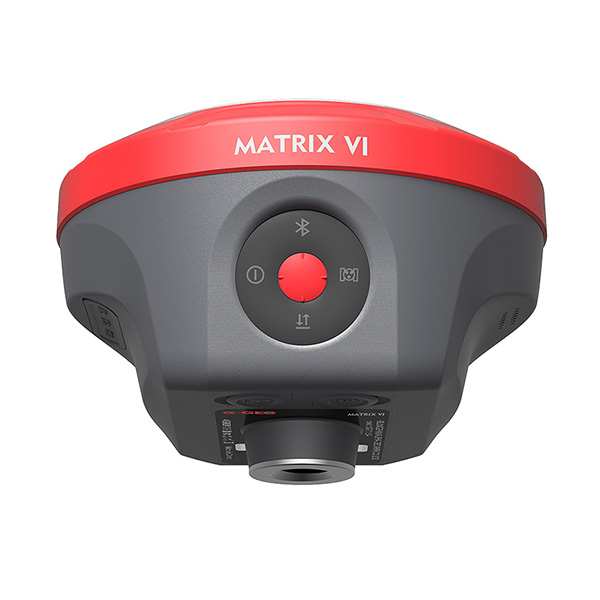
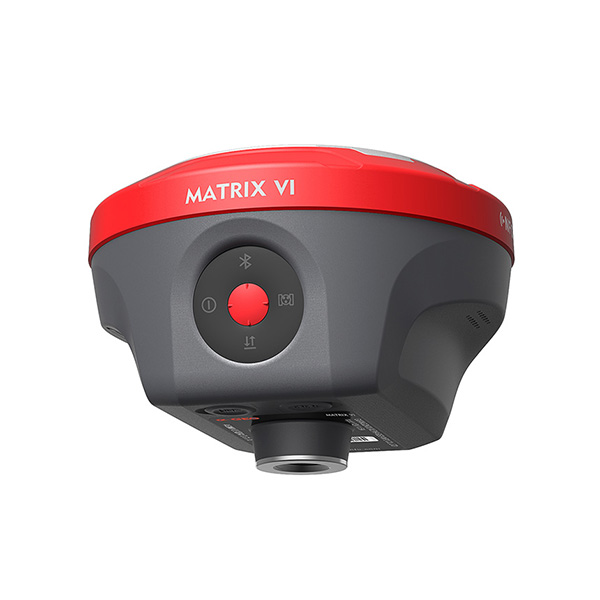
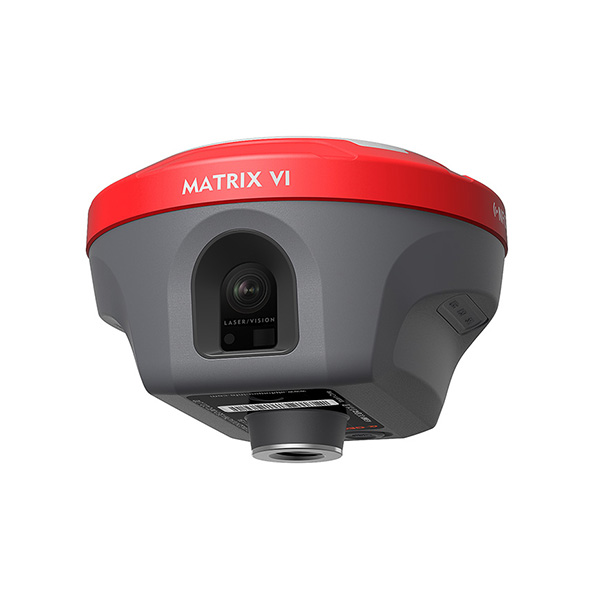
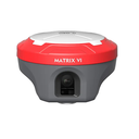

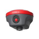
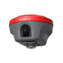
Matrix VI, a survey-grade GNSS receiver merges Visual Positioning technology, built-in core algorithms of photogrammetry, offering productive solutions for professional or amateur surveyors to measure points which previously could not be measured with a regular GNSS RTK easily. The surveyors can quickly capture the site with a set of images or a video, and measure the points coordinate from them, no matter in the field or later in office.
MATRIX VI |
SPECIFICATION
Satellite signals tracked simultaneously | GPS: L1C/A, L2C, L2P, L5 |
Channels | 1408 |
Cold start | <60 s |
Hot start | <15 s |
Positioning output rate | 1Hz ~ 50Hz |
Signal Reacquisition | <1s |
RTK Initialization time | <5 s |
Initialization Reliability | >99.99% |
Time accuracy | 20 ns |
POSITIONING
Code differential GNSS positioning | H: 0.25m + 1ppm RMS |
SBAS differential positioning accuracy | Typically < 5m 3DRMS |
Static GNSS surveying | H: 2.5mm + 0.5ppm RMS |
RTK surveying (baseline<30km) | H: 8mm + 1ppm RMS |
Network RTK | H: 8mm + 0.5ppm RMS |
Laser measurement | ±1cmm + 5mm/m |
PHYSICAL
Material | Magnesium alloy |
Dimensions | 129mm×129mm×99mm |
Weight | <0.8kg |
Operating temperature | -40℃ ~ +75℃ |
Storage temperature | -55℃ ~ +85℃ |
Waterproof/Dustproof | IP67 standard, protected from 30min immersion to depth of 1m |
Shock | Survive a 2m pole drop onto concrete |
Vibration | MIL-STD-810G |
Humidty | 100%, condensing |
ELECTRICAL
Power supply | 9~24V DC external power input to 5-pin LEMO port Supports Type-C fast charging |
Battery | Built-in 7000mAh-7.4V Li-ion battery |
Battery life | Rover mode: 12hours |
I/O interface | 1* 5-pin LEMO port, power supply, RS232, external radio communication port |
Internal UHF | 410MHz~470MHz, supports frequency modification |
Protocols | Trimtalk450S, Alphatalk15, South, Satel, PCC-EOT |
Cellular network | Full frequency multi-band 4G modem, supports TDD-LTE /FDD-LTE/WCDMA/CDMA2000 |
Wi-Fi | 802.11 b/g standard, access point & client mode, supports accessing to hotspot for correction transmission |
Bluetooth | Bluetooth 5.2 classical/BLE proprietary dual-mode |
Differential data format | RTCM2x, RTCM3x, CMR&CMR+, sCMRx |
GPS output data format | RINEX, NMEA-0183 |
DATA STORAGE
Memory | 64GB, supports cyclic storage, with ability to collect almost 4 years raw observation based on 5s interval |
USER INTERACTION
Operating system | Linux PS |
Buttons | Power key |
Indicators | 1* Power indicator |
Voice | Intelligent voice prompts |
Web UI | Supports Web UI configration |