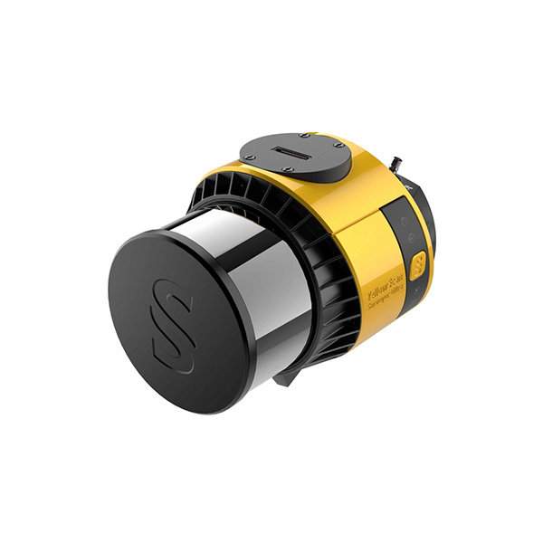
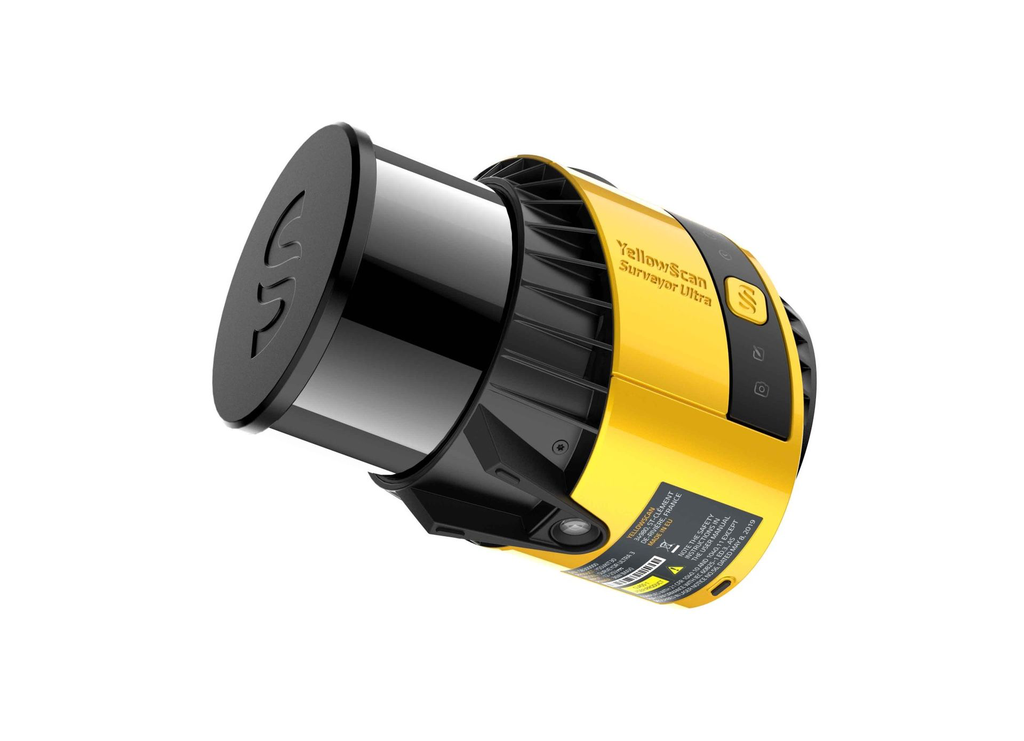
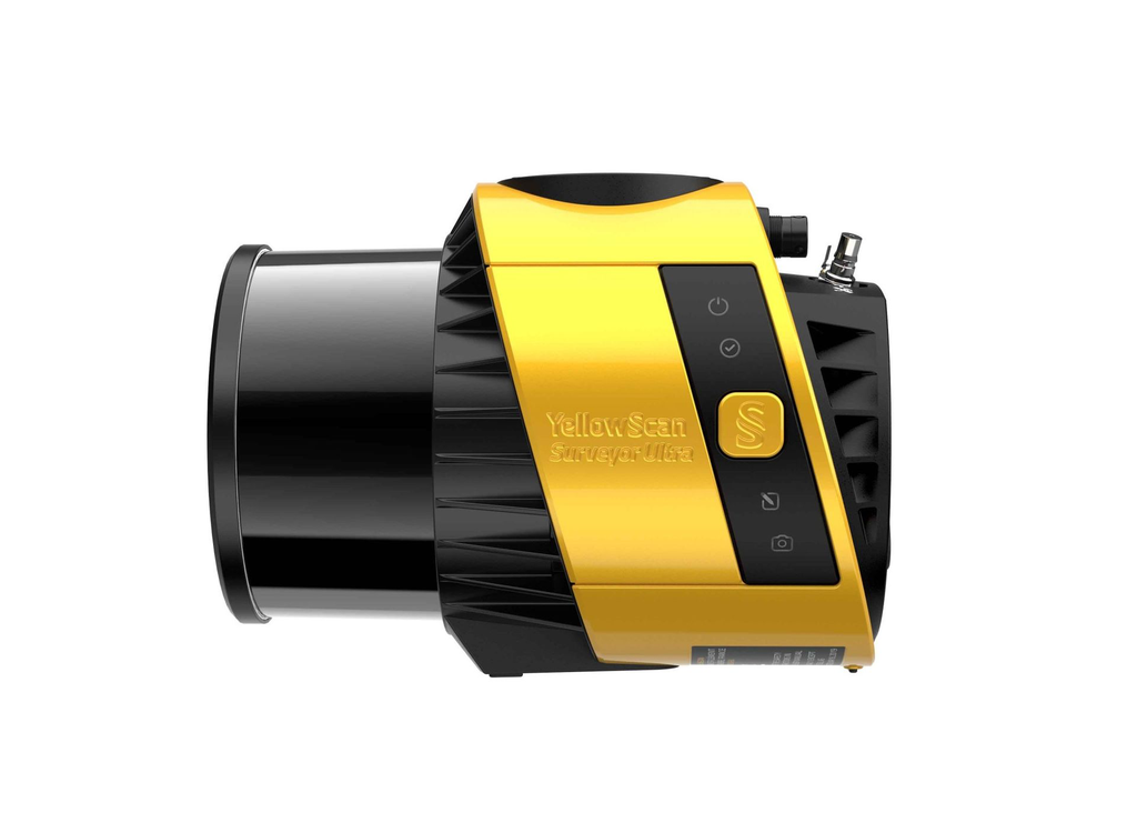
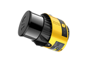
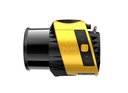
This system can be used on multirotor, fixed-wing VTOL and helicopter UAVs. This flexibility is an asset if you have a great diversity of missions: sizes and reliefs. Fixed-wing VTOL for big areas to survey, multirotor for small areas or vertical sections. When it comes to drones, the “quick release” attachment allows for easy mounting on a wide range of drones. Two options: Gremsy or Skyport, which can be interchanged depending on the drone you’re using.
SURVEYOR ULTRA |
SPECIFICATION
Scanner | Hesai XT32M2X |
Laser wavelength | 905 nm |
Laser range | Up to 300 m |
Precision | 3 cm |
Accuracy | 2.5 cm |
Typ. flight speed | 10 m/s |
Typ. flying height | 100 m |
Max. rec. flying height | 140 m |
Scanner field of view | 360° |
Point density | 60 pts/sqm @ 100m AGL 10 m/s |
Shots per second | 640k |
Echoes per shot | Up to 3 |
GNSS-Inertial solution | SBG Quanta Micro |
Weight | 0.98 kg (2.2 lbs) batt. excl. |
Autonomy | 1.2 hour typ. |
Power consuption | 20 W |
Scanner field-of-view | 360° x 40.3° |
Operating temperature | -10 to +40 °C |
Size | L 153 x W 113 x H 117 mm |