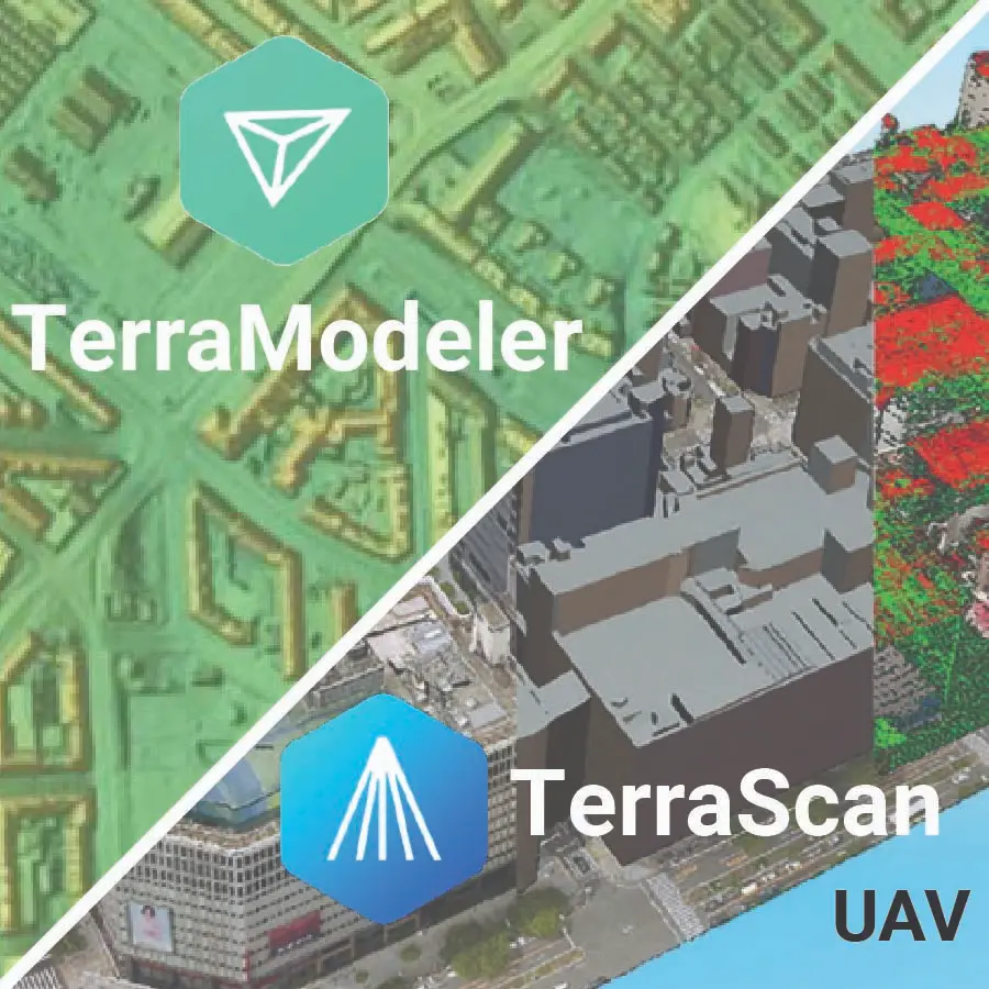
TerraScan UAV + TerraModeler UAV is Terrasolid’s drone-focused bundle for end-to-end LiDAR processing and terrain modeling. TerraScan UAV ingests UAV point clouds, automates cleaning/classification and feature extraction, and includes a “Process Drone Data” wizard—optimized for datasets up to a few hundred million points. TerraModeler UAV then turns the classified points into DTMs/DSMs/TINs and provides contours, grids, profiles and other visualization/analysis outputs. Both run on Bentley MicroStation or the lightweight Spatix CAD platform.