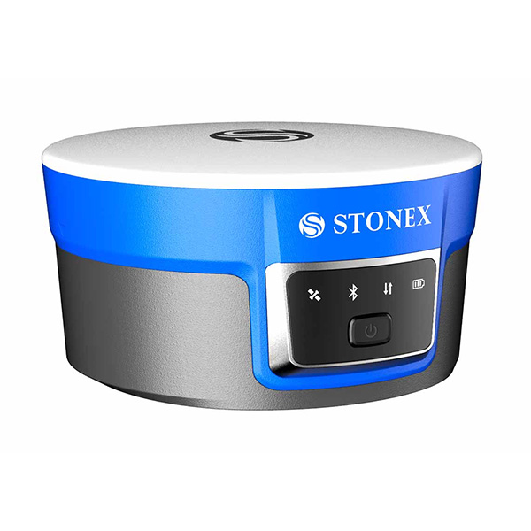
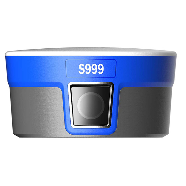
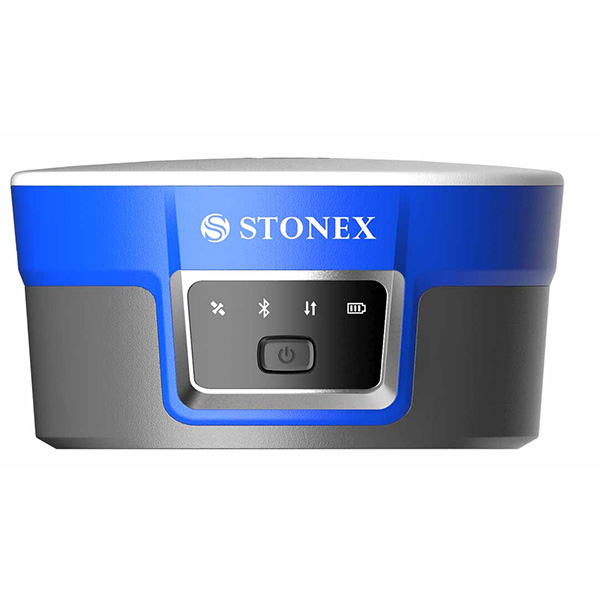
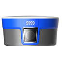
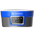
The advanced IMU technology enables tilted measurements of up to 60° with rapid initialization, enhancing field productivity by as much as 40%. The S999 receiver is also equipped with two cameras: one for stakeout and one for photogrammetric applications, expanding the system’s usage possibilities. Visual stake out The front camera simplifies point staking by clearly showing the surrounding area, helping you accurately identify the point of interest. As you get closer, it automatically switches to the lower camera for precise framing, ensuring reliable measurements. Cube-a’s interface uses visual aids to guide surveyors to the exact staking location. A graphical display indicates both the direction and distance to the point, adjusting as the operator approaches. Measuring inaccessible points The system allows you to record a video of the area you want to measure. The program extracts several photos that the operator can use toalign the points to be measured. Cube-a then immediately provides the calculated coordinates, which can be easily recorded. Measurements can be taken offline as well. Online point cloud and meshThe acquired video of an area can be exported and uploaded to photogrammetry software (Cube-3D) to generate a three-dimensional model (point cloud and mesh). Alternatively, it can be sent directly from Cube-a to the Stonex VScloud for semi-real-time data processing, resulting in a 3D model (point cloud and mesh). The survey can then be visualized and managed directly on the Android controller within Cube-a (v. 7).
S999 GNSS RECIEVER |
SPECIFICATION
Satellite signals tracked | GPS: L1 C/A, L1C, L2P, L2C, L5 |
PPP | B2b PPP, HAS |
Channels | 1408 |
Position rate | Up to 50Hz |
Signal reacquisition | <1 s |
RTK Signal initialization | <5 s |
Hot start | Typically <15 s |
Initialization reliability | >99.99% |
Internal memory | 32Gb |
Tilt sensor | IMU ±60° |
POSITIONING
Horizontal | 2.5 mm + 0.1 ppm RMS |
Vertical | 3.5 mm + 0.4 ppm RMS |
REAL TIME KINEMATIC (< 30 Km) - NETWORK RTK
Fixed RTK Horizontal | 8 mm + 1 ppm RMS |
Fixed RTK Vertical | 15 mm + 1 ppm RMS |
PPP Accuracy | < 20 cm RMS |
SBAS Accuracy | < 60 cm RMS |
INTEGRATED GNSS ANTENNA
High accuracy multi-constellation antenna, zero phase center, with internal multipath suppressive board |
INTERNAL RADIO (Optional)
Type | Tx - Rx 0.5W/2W |
Frequency Range | 410-470 MHz |
Channel spacing | 12.5 KHz / 25 KHz |
Ranges | 3-4 Km in urban environment |
Band | LTE FDD: |
BELOW CAMERA
Resolution | 2 MP |
Image frame | 30 Frame/s |
Field of view | 72° |
FRONTAL CAMERA
Resolution | 2 MP |
Image frame rate | 5 Frame/s |
Video frame rate | 30 Frame/s |
Field of view | 75° |
COMMUNICATION
I/O Connectors | Type-C for charging and data transfer |
Bluetooth | 2.1 + EDR, V5.0 |
Wi-Fi | 802.11 a/ac/b/g/n |
Web UI | To upgrade the software, manage the status and settings, and download data. Smartphone, tablet, or other electronic device with Wi-Fi capability can be used. |
Reference outputs | RTCM 3.x |
Navigation outputs | NMEA 0183 |
POWER SUPPLY
Battery | Built-in battery, 3.6V, 13.6Ah, 48.96Wh, support for PD fast charge |
Power | 12V DC |
Working time | Up to 10 hours |
Charge time | Typically 4 hours |
PHYSICAL SPECIFICATION
Dimensions | Ø 139 mm x 74 mm |
Weight | 1065 g |
Operating temperature | -40°C to 65°C (-40°F to 149°F) |
Storage temperature | -40°C to 80°C (-40°F to 176°F) |
Waterproof/Dustproof | IP68 |
Shock resistance | Designed to endure to a 1.5 m free drop with no damage |
Humidity | 100% non-condensing |