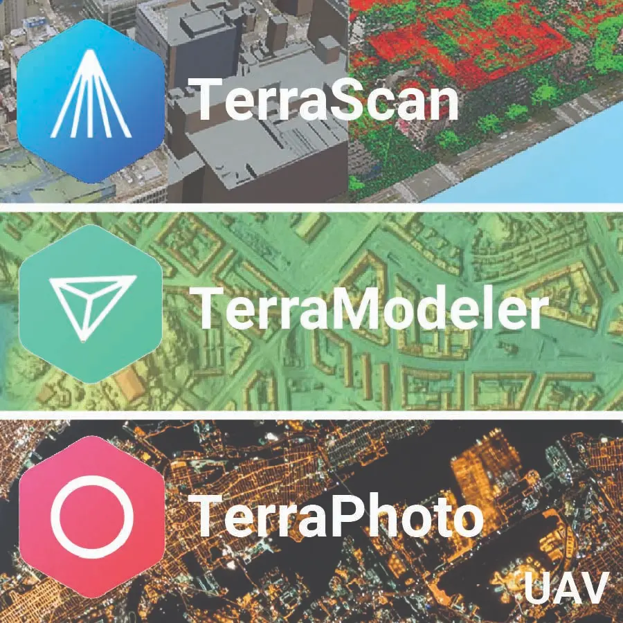
TerraScan UAV + TerraModeler UAV + TerraPhoto UAV — a drone-first suite to turn UAV LiDAR & imagery into polished deliverables fast: TerraScan UAV’s Process Drone Data wizard automates import, cleaning, and classification; TerraModeler UAV builds accurate surfaces/contours from UAV point clouds; TerraPhoto UAV orthorectifies/mosaics low-altitude images (≤500 m) and colorizes point clouds. Runs on Bentley MicroStation or the included Spatix platform.