Monitoring
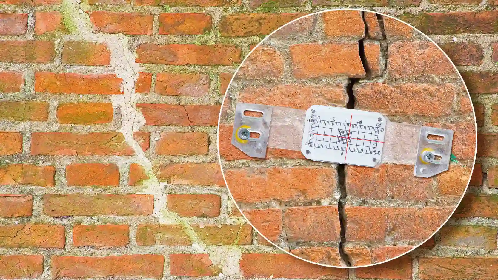
A monitoring survey is an action taken to see if or how far a building or structure has moved over time.
A-GEO leverages advanced drone technology to provide efficient and accurate monitoring solutions across various industries. Our drone scanning services enable clients to gather essential data for a wide range of monitoring applications.
A-GEO’s data processing experts convert raw drone data into actionable insights. We employ specialized software to process images, generate 3D models, and analyze thermal data.
We also use traditional technologies like:
- Laser Scanning
- Tilt Sensor Monitoring
- Fixed Position Monitoring