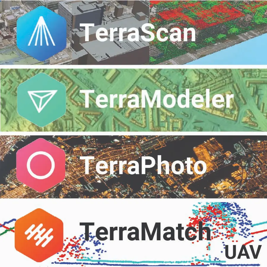
The Terrasolid UAV Bundle combines four powerful software modules—TerrScan UAV, TerraModeler UAV, TerraPhoto UAV, and TerraMatch UAV—into one complete solution for professional airborne mapping, photogrammetry, and LiDAR data processing. Designed specifically for UAV workflows, this package gives surveyors, engineers, and mapping professionals all the tools needed to process raw drone data into accurate, high-quality deliverables.