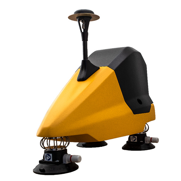
The YellowScan Fly & Drive LiDAR solution is a versatile land vehicle-mounted or UAVmounted mobile mapping system. It combines high resolution laser scanning and accurate positioning to collect georeferenced point clouds for a wide range of applications.
FLY&DRIVE |
SPECIFICATION
LiDAR system | YellowScan Surveyor Ultra |
Scanner | Hesai XT32M2X |
Precision | 3 cm |
Accuracy | 2.5 cm |
Typ. driving speed | 25-50 km/h |
Typ. flight speed | 10 m/s |
Max. AGL altitude | 140 m |
Laser range | Surveyor Ultra: Up to 300m |
GNSS-Inertial solution | Surveyor Ultra: Hesai XT32M2X |
Scanner field-of-view | Surveyor Ultra: 360° x 40.3° |
Echoes per shot | Surveyor Ultra: Up to 3 |
Shots per second | Surveyor Ultra: Up to 640 000 |
Scanning frequency | Surveyor Ultra: Up to 20 Hz |
Weight | Surveyor Ultra: 0.98 kg (2.2 lbs) batt. excl. |
Size | Surveyor Ultra: L 153 x W 113 x H 117 mm |
Autonomy | Surveyor Ultra: 1.2 hour typ. |
Power consumption | Surveyor Ultra: 20 W |
Operating temperature | Surveyor Ultra: -10 to +40 °C |